 ultimate-guide
Hiking Trails Near Broken Bow Lake: Your Complete Trail Guide
Last Updated: November 1, 2026
Quick Summary
The hiking trails near Broken Bow Lake center on the Beavers Bend State Park network, which ranges from short nature loops like Cedar Bluff to the long-distance David Boren Hiking Trail. Easy options suit families and beginners, while Skyline Trail and the Three Sisters Falls hike add real climbing and elevation. Arrive early on weekends, since trailhead lots fill first.
- Cedar Bluff Nature Trail has the most forgiving surface in the park and suits beginners.
- The David Boren Hiking Trail is commonly hiked in sections rather than end to end.
- Skyline Trail involves ridge-line climbing and is not a beginner route in full.
- Arrive early on weekends and holidays because popular trailhead lots fill first.
- Download an offline map before you leave since cell coverage is patchy in the forest.
Table of Contents
- Why Broken Bow Lake Is a Hiking Destination Worth Planning Around
- Beavers Bend State Park Hiking Trails: The Core Network
- The Three Sisters Falls Hike: What to Expect
- Easy Hikes Near Broken Bow Lake for Families and Beginners
- Skyline Trail and David Boren Hiking Trail: Longer Routes and Elevation
- Your Broken Bow Hiking Trail Map: Trailheads, Parking, and Access
- Trail Conditions, Closures, and How to Check Official Status
- Safety, Preparation, and Pet Rules on the Trails
- Pairing a Hike with Broken Bow Lake: A Sample Itinerary
- Book Your Cabin Near the Trailheads
- Frequently Asked Questions
Why Broken Bow Lake Is a Hiking Destination Worth Planning Around
Broken Bow Lake sits inside the Ouachita National Forest, and the hiking trails near Broken Bow Lake are the reason so many visitors trade a lazy lake day for a morning on the move. This guide covers the routes worth your time, the trailheads that save you a wrong turn, and the practical details that most trail lists skip.
Here's the part most guides get wrong: they list trails without telling you how to actually reach them, where to park, or what the surface feels like underfoot. That gap matters. A trail that reads as "easy" online can still mean roots, rocks, and a shoreline climb.
Below, we'll show you exactly how to pick the right route for your group, match a hike to the rest of your lake day, and check conditions before you drive out. The trails we cover range from short nature loops to a long-distance route through the forest.
Beavers Bend State Park Hiking Trails: The Core Network
Beavers Bend State Park hiking trails form the core network most visitors start with, and for good reason: the trailheads sit close together, the routes vary in length, and several connect directly to the lake shoreline. If you only have one morning, start here.
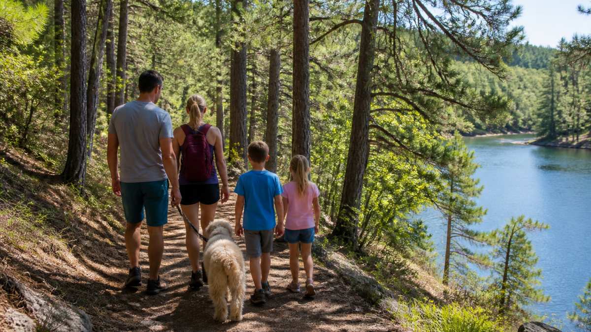
The park's trail system is managed by Oklahoma State Parks, and the official Beavers Bend State Park pages are the best place to confirm open routes before you go. A common mistake is treating every trail as interchangeable. They aren't. Some are wide, packed, and stroller-friendly; others narrow into single-track with exposed roots.
Plan your entry point around the trail you want, not the other way around. Here is the core network at a glance, with the route character that matters more than the label:
- Friends Trail Loop, a short loop through pine forest with lake glimpses and gentle elevation change. Best for first-timers and families with younger kids; finishes before lunch.
- Cedar Bluff Nature Trail, the interpretive option and the most forgiving surface in the park. Short enough to pair with a lake swim; hike it slowly and read the markers.
- Beaver Lodge Nature Trail, a gentle walk suited to young children and slower paces, with wildlife-viewing appeal.
- Forest Heritage Tree Trail, a short, shaded route where the draw is the big trees rather than distance.
- Deer Crossing Trail, a relaxed option when you want distance without difficulty.
- Lookout Mountain Loop, a step up in effort with overlook-style views; treat it as a half-day rather than a quick stroll.
- Skyline Trail, ridge-line climbing with overlooks that reward the effort; not a beginner route in full.
- David Boren Hiking Trail, the long-distance route through the Ouachita forest, commonly hiked in sections rather than end to end.
Friends Trail Loop
Friends Trail Loop is a short, approachable loop that suits first-time visitors and anyone hiking with younger kids. The route winds through pine forest with lake glimpses and enough gentle elevation change to feel like a real hike without wrecking your legs.
Distance and difficulty vary by the access point you choose, so check the current park map before you commit. In practice, this is the loop we'd point a family toward when they want a hike that finishes before lunch.
Cedar Bluff Nature Trail
Cedar Bluff Nature Trail is the interpretive option, and it earns its place as an easy trail for beginners. The surface is more forgiving than the backcountry routes, and the shorter length means you can pair it with a lake swim without overdoing it.
What most trail lists miss is that nature trails like this one are best hiked slowly. Read the markers, watch the water, and let the kids set the pace.
Here is the core trail network at a glance, with the route character that matters more than the label.
| Trail | Character | Best for |
|---|---|---|
| Friends Trail Loop | Short pine-forest loop with lake glimpses, gentle elevation change | First-timers and families with younger kids |
| Cedar Bluff Nature Trail | Interpretive option, most forgiving surface in the park | Beginners; pairing with a lake swim |
| Beaver Lodge Nature Trail | Gentle walk with wildlife-viewing appeal | Young children and slower paces |
| Forest Heritage Tree Trail | Short, shaded route where big trees are the draw | A quick stop |
| Deer Crossing Trail | Relaxed option with distance but no difficulty | Easy mileage |
| Lookout Mountain Loop | Step up in effort with overlook-style views | A half-day |
| Skyline Trail | Ridge-line climbing with rewarding overlooks | Stronger hikers; not a beginner route in full |
| David Boren Hiking Trail | Long-distance route through the Ouachita forest | Section hiking rather than end to end |
The Three Sisters Falls Hike: What to Expect
The Three Sisters Falls hike is the route people ask about most, and it delivers a waterfall payoff that justifies the effort. Expect a real climb, uneven footing near the water, and a crowd on weekends.
This is not a stroll. The Three Sisters Falls hike rewards hikers who wear proper shoes and start early. Rock surfaces near the falls stay slick, and the last stretch demands attention rather than speed.
A common mistake is arriving mid-afternoon in summer with sandals and a half-full water bottle. Trail length and access details shift with park management, so confirm the current route on the Oklahoma State Parks trail information before you plan around it.
Watch out: waterfall approaches often look dry and grippy at the top and turn slick where spray hits stone. Test each step near the water instead of trusting the surface.
Easy Hikes Near Broken Bow Lake for Families and Beginners
Easy hikes near Broken Bow Lake share three traits: short distance, a defined path, and a reward at the end that keeps kids moving. If your group includes grandparents, toddlers, or a dog on a leash, build your day around these.
- Cedar Bluff Nature Trail: short, interpretive, and forgiving underfoot
- Beaver Lodge Nature Trail: a gentle walk suited to young children and slower paces
- Forest Heritage Tree Trail: a short, shaded route with big trees as the draw
- Deer Crossing Trail: a relaxed option when you want distance without difficulty
Accessibility matters here. Some trail surfaces suit a sturdy stroller; others do not. Call ahead or check the park's current accessibility notes if mobility is a factor for anyone in your group. A challenging trail is a great goal, but only when everyone can safely finish it.
Skyline Trail and David Boren Hiking Trail: Longer Routes and Elevation
Skyline Trail and the David Boren Hiking Trail are where Broken Bow hiking gets serious. These longer routes bring elevation gain, forest views, and the kind of quiet you only find a mile past the trailhead.
The David Boren Hiking Trail is a long-distance route through the Ouachita forest, and hikers commonly tackle it in sections rather than end to end. Skyline Trail adds ridge-line climbing with overlooks that reward the effort. Neither is a beginner route in full.
Here's where planning pays off. Estimate your hiking time generously, carry more water than feels necessary, and turn around before you're tired rather than after. Route data such as elevation gain and loop versus out-and-back format changes with maintenance and access, so confirm the current layout through the U.S. Forest Service Ouachita National Forest pages before a long day out.
Your Broken Bow Hiking Trail Map: Trailheads, Parking, and Access
A Broken Bow hiking trail map is only useful if it shows you where to park, and that's the detail most trail roundups leave out. Trailheads near the lake fill early in summer, and overflow parking can add a walk before your hike even starts.
Trailhead-by-trailhead access notes
- Friends Trail Loop, park at the designated trailhead lot and walk in; the loop is short enough that you do not need a second vehicle. Arrive before mid-morning on weekends.
- Cedar Bluff Nature Trail, the interpretive trailhead is the easiest to reach and the most stroller-friendly approach; pair it with a nearby lake access point for a swim after.
- Beaver Lodge Nature Trail, a gentle trailhead suited to families; the lot is small, so carpool if your group is arriving in more than one vehicle.
- Forest Heritage Tree Trail, short shaded route with a compact trailhead; best treated as a quick stop rather than a half-day anchor.
- Deer Crossing Trail, relaxed access when you want distance without difficulty; confirm the current entry point on the park map because access can shift with maintenance.
- Lookout Mountain Loop, plan a half-day and arrive early; the climb is the point, so do not squeeze it between two other stops.
- Skyline Trail, ridge-line route with overlooks; treat the trailhead as your turn-around anchor and note the name and number so you return to the right lot.
- David Boren Hiking Trail, long-distance route commonly hiked in sections; pick your section entry point in advance and leave a vehicle or plan a shuttle if you are not doing an out-and-back.
Parking and arrival mechanics that save a wrong turn
- Arrive early on weekends and holidays. Lots near popular trailheads fill first, and overflow parking can add a walk before your hike even starts.
- Download an offline map before you leave. Cell coverage is patchy in the forest, and a downloaded map beats a dead signal at a fork.
- Note your trailhead name and number. Returning to the right lot matters more than it sounds when several access points sit close together.
- Check driving directions to each access point rather than trusting a single park entrance; the park has multiple entries and the closest one to your trail may not be the main gate.
- Match your entry point to your route, not the other way around. Decide which trail you are hiking first, then pick the trailhead that serves it.
Accessibility and suitability by group
Accessibility matters here. Some trail surfaces suit a sturdy stroller; others do not. Call ahead or check the park's current accessibility notes if mobility is a factor for anyone in your group. A challenging trail is a great goal, but only when everyone can safely finish it. Use the trailhead notes above to match surface and distance to your group before you commit to a route.
Trail Conditions, Closures, and How to Check Official Status
Trail conditions change faster than any published guide can track. Storms drop trees, heavy rain washes out sections, and maintenance closes routes without much notice.
Before you drive out, check the official park and forest service channels for current closures and alerts. The National Weather Service forecast office is the fastest way to see whether storms are moving in, which matters more on exposed ridges and near waterfalls.
What most guides miss is timing. A route that's perfectly safe on a dry Friday can turn hazardous after a Saturday storm. If a trail is closed, respect it. The forest will still be there next trip.
Safety, Preparation, and Pet Rules on the Trails
Safety on these trails comes down to preparation, not luck. Carry water, wear shoes with real tread, and tell someone your route and expected return time.
Pet rules deserve their own mention. Pet rules vary by area, so confirm the current pet policy before you go. Confirm the current pet policy before you clip on the leash, and pack out whatever your dog leaves behind.
A short preparation checklist:
- Water for every person and pet
- Trail map downloaded or printed
- Proper footwear with tread
- Leash and waste bags if bringing a dog
- Weather forecast checked that morning
- Someone knows your route and return time
Pairing a Hike with Broken Bow Lake: A Sample Itinerary
Pairing a hike with Broken Bow Lake time is the move that turns a good day into a great one. Here's how we'd structure it.
- Early start: Hit an easy trail or the Friends Trail Loop before the heat and the crowds.
- Mid-morning swim: Head to a lake access point for a cool-down and a snack.
- Lunch in town: Refuel before the afternoon.
- Afternoon rest or a second short hike: Pick a nature trail if energy holds.
- Evening at the cabin: Hot tub, fire pit, early night.
For a fuller picture of what else the area offers, the ultimate Broken Bow travel guide covers dining, local culture, and additional activities to build around your hike.
Book Your Cabin Near the Trailheads
The best trail day starts close to the trailhead, and that's where your lodging choice earns its keep. Staying minutes from the park means an early start without a long drive, and a hot tub waiting when you get back. Consider Uncle Buck's Lodge family cabin with pool table, hot tub and boat parking near Broken Bow Lake for your stay.
At Hochatown Cabins, we offer a curated selection of cabins in the Ouachita National Forest, minutes from Broken Bow Lake and Beavers Bend State Park. Booking direct means no third-party booking fees and guaranteed best rates. We also provide personalized local service and expert travel guidance. Contact Hochatown Cabins directly for current rates.
Browse the luxury cabins in Broken Bow with hot tubs and outdoor fire pits, or check real-time availability and book your cabin for your hiking dates.
Get started with Hochatown Cabins and build a trip where the trailhead is the closest thing to your front door.
Frequently Asked Questions
How long is the Three Sisters Falls hike?
Check the current trail map at the park entrance or visitor center for route length and access points. Check the current trail map at the park entrance or visitor center for the most accurate mileage, since trail segments can be rerouted after heavy rain.
Are there waterfalls near Broken Bow Lake?
Yes. The most well-known waterfall hike near Broken Bow Lake is the Three Sisters Falls hike, which leads to a set of cascades along a creek feeding the lake. Water flow varies with rainfall, so the falls are most impressive after spring rains.
Which hiking trails near Broken Bow Lake are best for beginners?
The easy hikes near Broken Bow Lake include the Cedar Bluff Nature Trail and the Friends Trail Loop, both of which have minimal elevation gain and well-marked paths. The Beaver Lodge Nature Trail is another gentle option suitable for young children. These trails are generally short and suitable for families or anyone new to hiking.
Are dogs allowed on hiking trails near Broken Bow Lake?
Leashed dogs are allowed on most trails within Beavers Bend State Park, including the Friends Trail Loop and Cedar Bluff Nature Trail. Confirm current pet rules at the park office before heading out with your dog.
What should I bring for a hike near Broken Bow Lake?
Bring at least one liter of water per person, sturdy closed-toe shoes, insect repellent, and a trail map or downloaded offline map, since cell service is spotty in parts of the Ouachita National Forest. A small first-aid kit and snacks are smart additions for longer routes like the Skyline Trail. In summer, start early to avoid afternoon heat, and carry a light rain layer because thunderstorms can build quickly.
When is the best time of year to hike near Broken Bow Lake?
Spring and fall offer the most comfortable temperatures for hiking trails near Broken Bow Lake, with spring bringing wildflowers and stronger waterfall flow. Summer hikes are best done in the early morning before the heat peaks. Winter trails are quieter and still walkable, though occasional ice on the Skyline Trail can make steep sections hazardous. Check current trail conditions before any winter hike.
The trails near Broken Bow Lake reward the people who plan ahead, and the difference between a rushed morning and a great one usually comes down to where you sleep the night before. Let Hochatown Cabins handle the cabin so you can focus on the hike, with direct booking savings, pet-friendly options, and local guidance from people who know these trails.